We want to be clear about something in how we work, because it affects what you get from an evaluation and what you can do with it afterwards.
Every evaluation our foundation repair team in Austin carries out includes digital elevation mapping across the main living areas, and you receive those readings in writing whether or not any work follows. This post explains what that means in practice and why we consider it non-negotiable rather than an upsell.
What digital elevation mapping actually is
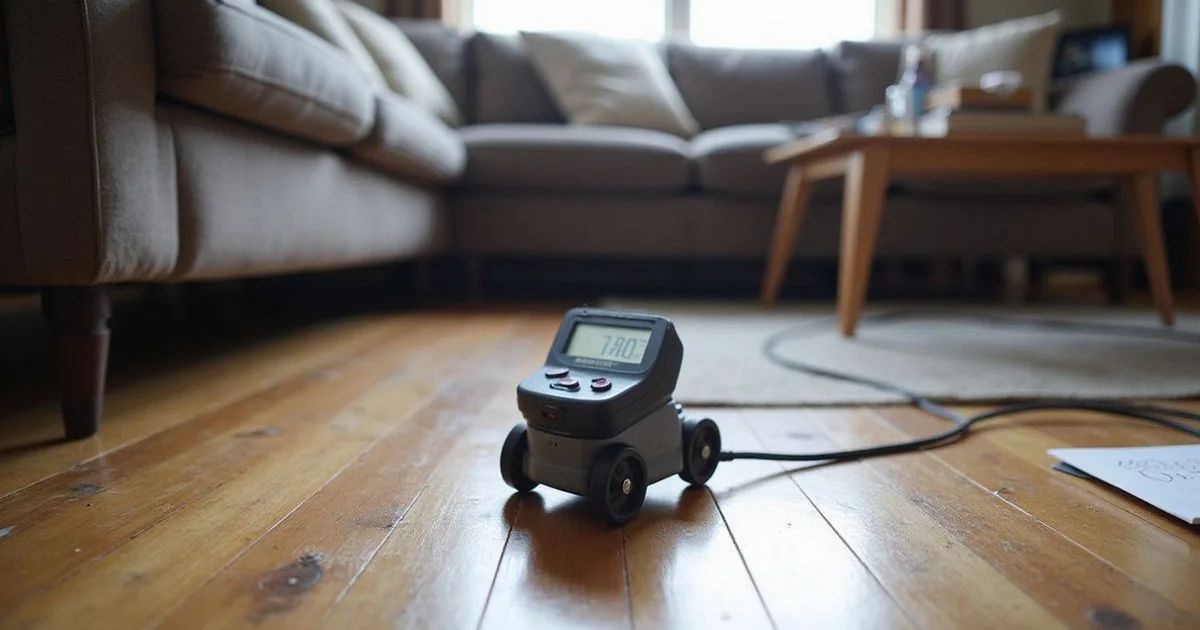
A digital manometer measures relative elevation using fluid pressure. A sensor is placed on the floor at a chosen reference point, and a second sensor is moved to measurement points across the house. The difference between them is read directly, in fractions of an inch, without line of sight and without needing a clear straight run between the points.
The important word is relative. We are not measuring against sea level or against a theoretical flat plane. We are measuring how parts of your floor sit relative to each other, because differential movement is what damages a structure. A house that is uniformly half an inch lower than it was is not a problem. A house where one corner is an inch lower than the opposite corner is telling you something.
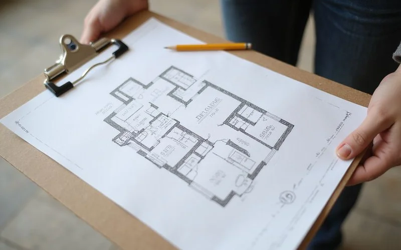
Readings are taken on a grid across the accessible living areas and recorded against a sketch of the floor plan. The output is a map of the floor, not a single number.
Why the pattern matters more than any one reading
This is the part that changes how a homeowner reads their own house.
A gradual, even fall across a large span reads very differently from a sharp step over a short distance. A low area at a perimeter corner suggests something different from a raised area near the centre of a slab. That second pattern in particular, a centre that sits high relative to the perimeter, is one of the cues that prompts us to ask about plumbing, because an under-slab leak can saturate soil and lift a slab from underneath.
None of that is visible in the cracks. Two houses with almost identical wall cracking can produce entirely different elevation maps, and the maps point to different responses.
What you receive
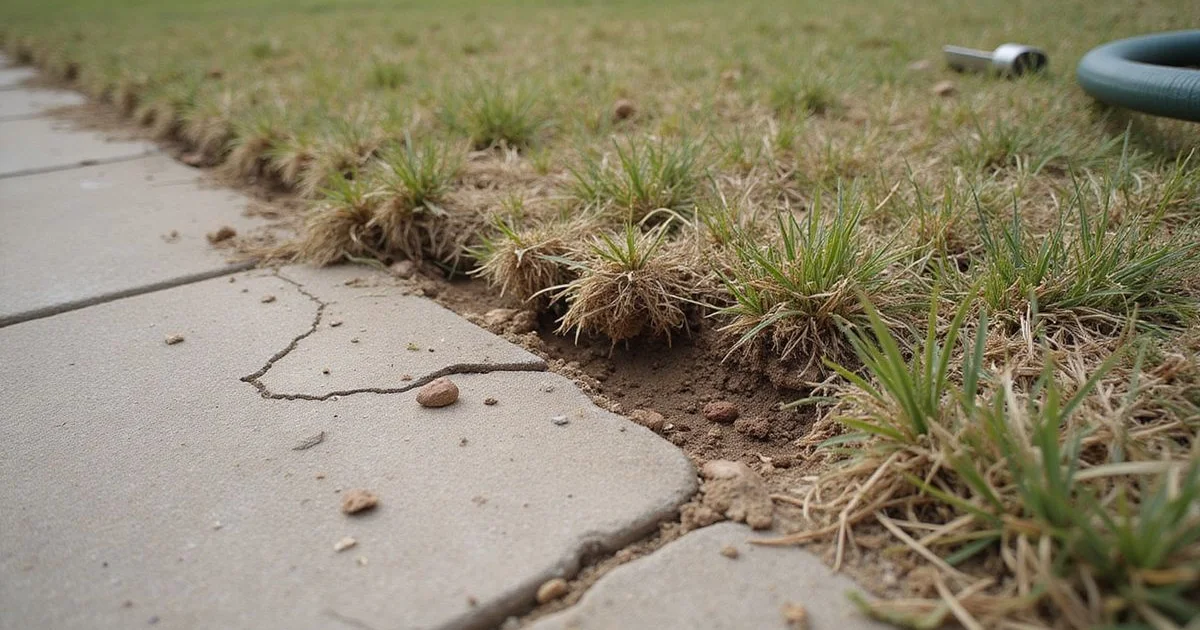
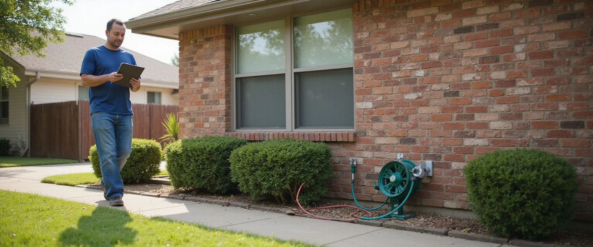
The written report includes the readings themselves, the reference point they are measured from, a sketch showing where each reading was taken, and an explanation of what the pattern indicates. It also records the observations you pointed out, with their locations, plus notes from the drainage and grading walk-around.
Crucially, it also states what could not be determined from a single visit. A single set of readings is a snapshot. It cannot tell you whether movement is progressing, because progression requires comparison. Saying so plainly is more useful than implying a confidence the data does not support.

The document is yours. Take it to another company for a second opinion. Give it to a structural engineer if you decide an independent assessment is warranted. File it and do nothing. We would rather you had it than not.
Why the baseline is the real value
Here is the argument for getting readings even when you are not convinced anything is wrong.
A documented baseline makes every future observation interpretable. If you call us in two years because a crack looks wider, we can repeat the readings against the same reference point and tell you whether the structure has actually moved. Without that starting point, nobody can answer the question, and you are left comparing photographs and memory.
That is why we leave the readings with homeowners whose evaluation concludes that no repair is warranted. Those are not wasted visits. They are the most useful ones, because the homeowner now owns a measured record of their house at a known point in time.
What elevation mapping does not replace
| Question | What answers it |
|---|---|
| How does the floor sit relative to itself? | Digital elevation mapping |
| Why is it sitting that way? | Drainage review, history, crawlspace inspection |
| Is an under-slab leak involved? | Plumbing testing by a licensed plumber |
| Is an independent structural opinion needed? | A licensed Professional Engineer |
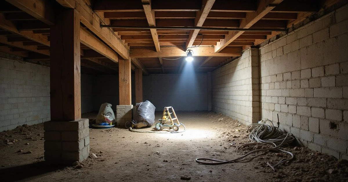
Elevation mapping is the backbone of an evaluation, not the whole of it. A reading tells you the what. Drainage, grading, foundation type, construction history and, on pier-and-beam homes, the crawlspace, tell you the why.
And it remains a contractor evaluation. It is not an engineering assessment, and we do not present it as one. Where a decision is consequential, or where a lender or legal process is involved, an independent opinion from a licensed Professional Engineer may be the appropriate step, and we will say so.
Want measured answers about your own property? — Read about our foundation evaluation
Related service: Foundation Evaluation
What an evaluation examines, who attends, the written deliverables you receive, and the next steps toward a quote.
Read about Evaluation